The Bemm River is formed at the confluence of the Errinundra and Combienbar Rivers, 10 kilometres upstream from the small township of Club Terrace.
The Bemm River flows into Sydenham Inlet, a coastal lagoon that is intermittently open to the ocean.
The catchment comprises mainly public land, including Cape Conran Coastal Park, Bemm River Scenic Reserve, Errinundra National Park and the Lind National Park.
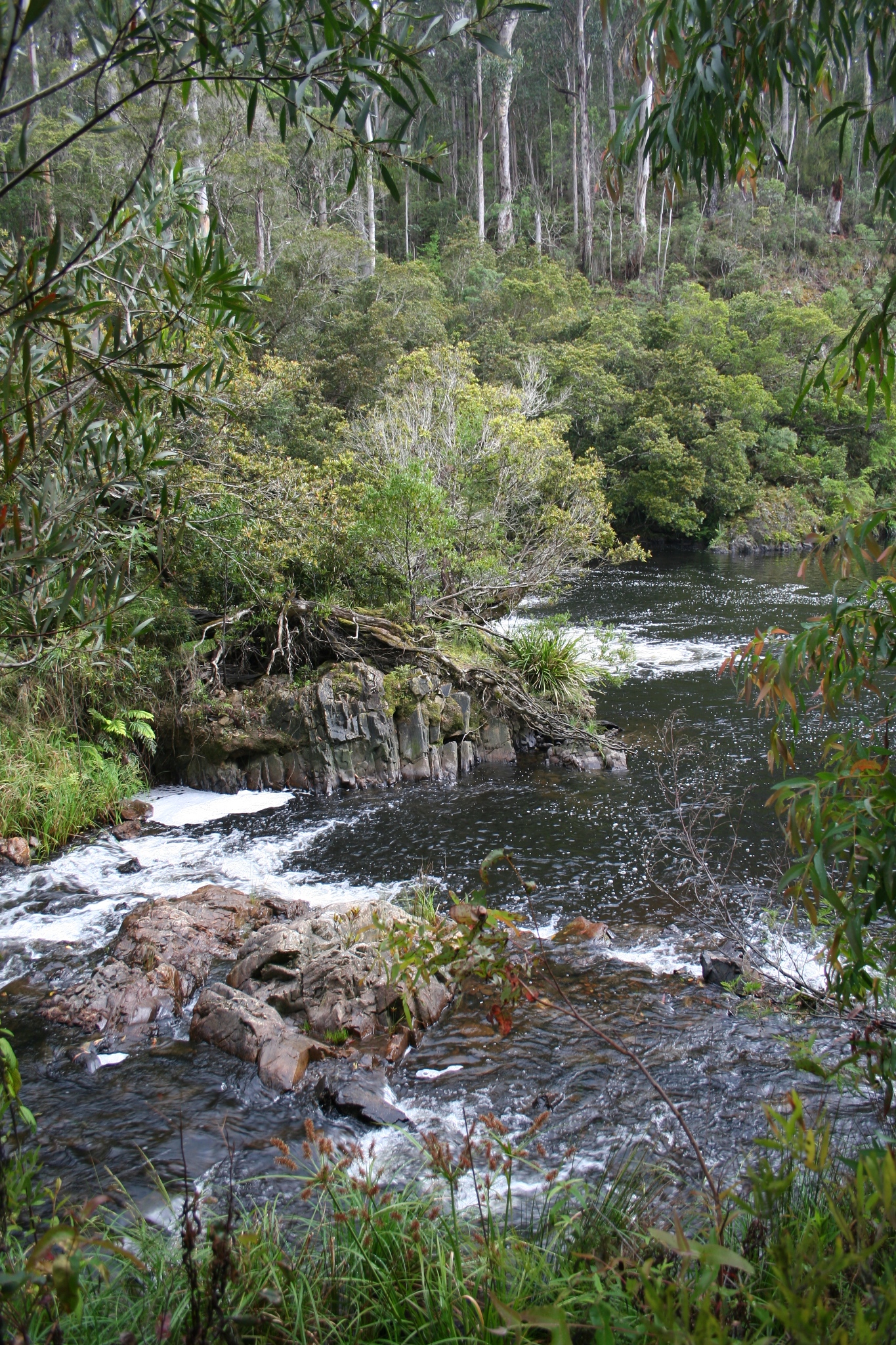
These areas have a broad range of ecosystems including cool and warm temperate rainforest, ancient wet eucalypt forest, coastal heathland and banksia woodland.
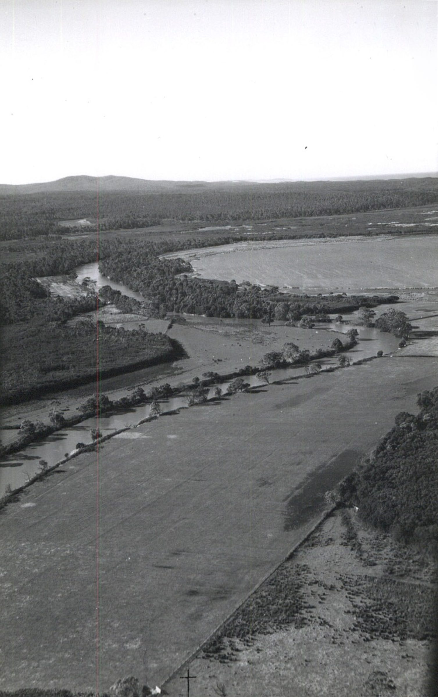
Fertile floodplain areas on the Combienbar River, and along the Bemm River between it’s confluence with the Errinundra River and the Princes Highway, have been cleared and support mainly beef cattle grazing.
Sydenham Inlet, adjacent to the township of Bemm River, is an important recreational tourism asset famous for fishing, eco-tourism and bushwalking. It is recognised as a high-value wetland in the Directory of Important Wetlands. The estuary is subject to periodic closure resulting from variations in river flows and climatic patterns.
Condition
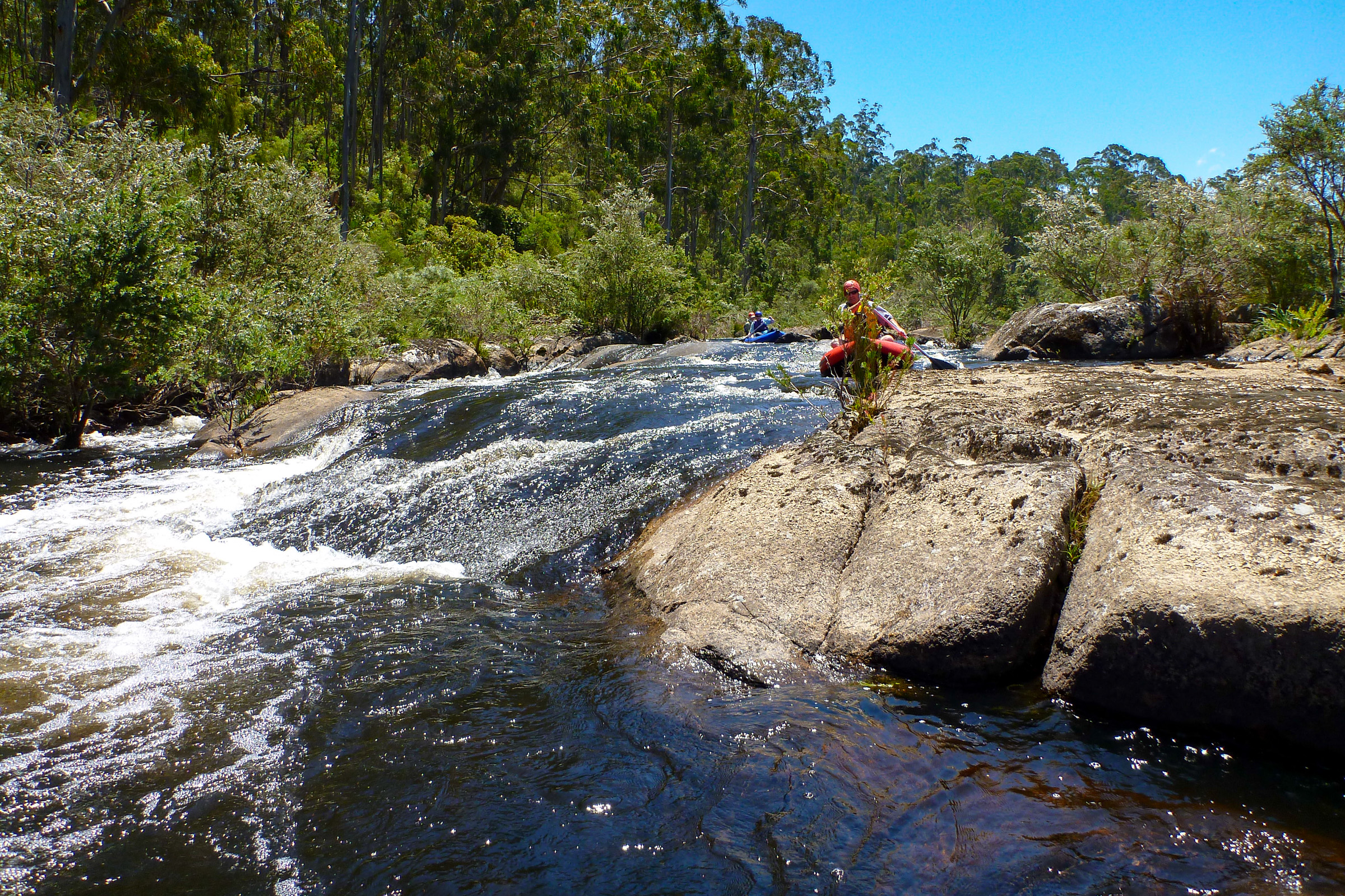
The Bemm River and tributaries are in good condition due to the extensive forested areas that cover most of the catchment.
Weed control, mainly Willow and Blackberry, require active management. The fencing of frontages to prevent stock access to the river is also on-going.

History
The catchment is extensively forested and the Bemm River and major tributaries are generally in good condition.
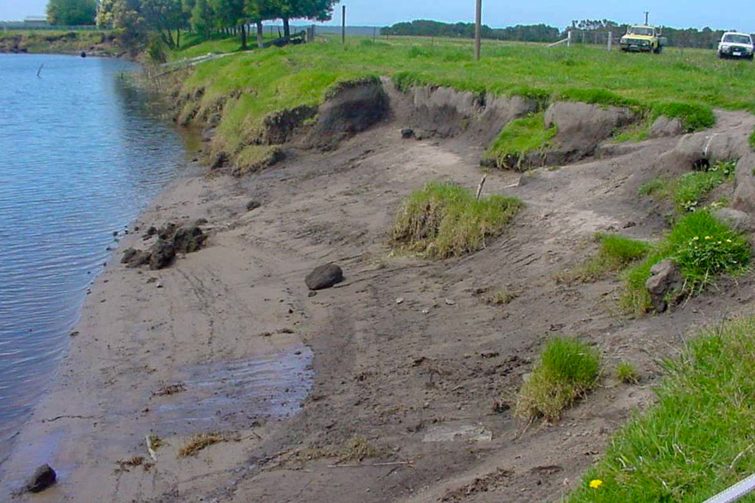
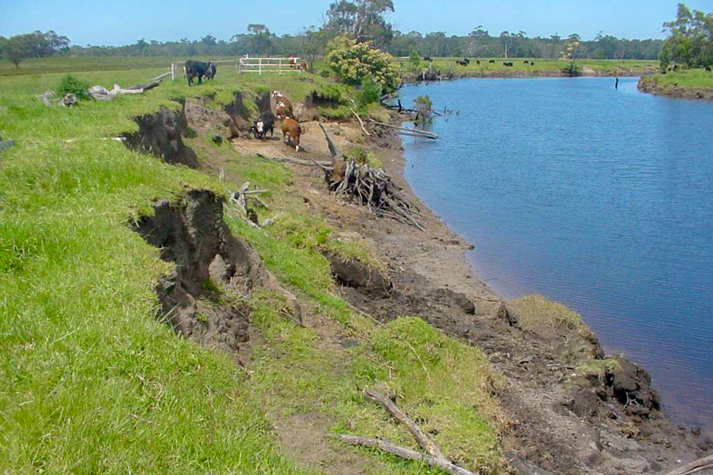
However, land management in the past created problems in some places along the rivers in the catchment (and along other rivers in East Gippsland). At some places, the vegetation was cleared to the water edge and tree branches and trunks were removed from the river channel to provide stock access to the river. Removing the ‘snags’ was also thought to prevent damage during high river flows.
The effects of earlier land clearing are very evident on the floodplain reach of the Combienbar River, a tributary of the Bemm River. Without the protection of native vegetation, and the stability provided by large logs, the river channel became vulnerable to damage during major flood events. These floods caused deepening (incision) and/or widening of the river channel. Over time, the deepening of the channel progressed upstream, increasing the grade of the stream bed and the power of the water flowing downstream, leading to greater erosive forces operating on the bed and banks of the river. In some places this also lead to increased meandering of the river across the floodplain.
Willows were introduced in an attempt to control erosion where native vegetation had been cleared. However, willows were found to invade the river channel, reducing the capacity of the channel during times of high river flows. In 1999, willows were declared a weed of national significance due to their invasive nature and negative impact on the environment.
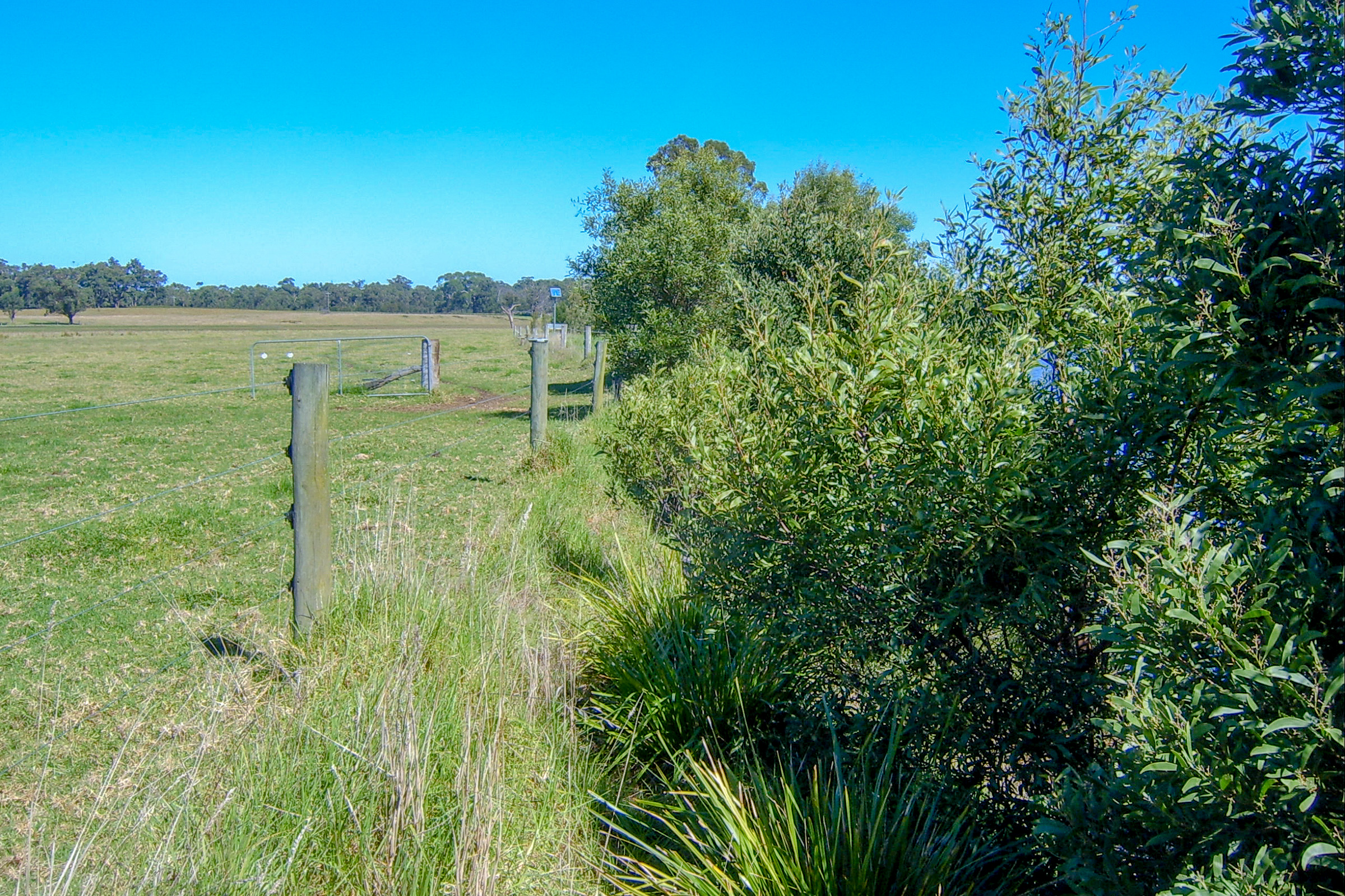
The deepening and widening of the Combienbar River will continue unless actions are taken to manage these changes. On cleared sections of the river bank, the management of these sites has typically involved willow control, fencing to prevent stock access to the river and the planting of native trees, shrubs and reeds indigenous to the area along the banks and in the bed of the river. The fencing protects new plantings of trees and shrubs, and native plants that regenerate naturally. Weed control is also undertaken to maintain the sites in good condition
In some places, piles have been driven into the river bed to prevent further erosion and to encourage the accumulation of silt and small debris. This helps to create pools of water that provide healthy habitat for native fish and other aquatic organisms that are vital to maintain water quality. Rock is also used to protect vulnerable sections of the banks and bed of the river.
Gallery