The Tambo River starts on the southern slopes of the Great Dividing Range. Initially, there are two branches of the river – one beginning in the Bowen Mountains and the other (called the South Branch) on the slopes of Mt. Bindi.
The river flows in a southerly direction through Ensay, Tambo Crossing, Bruthen and Swan Reach. Below Bruthen, the river enters the coastal plain eventually flowing into Lake King.
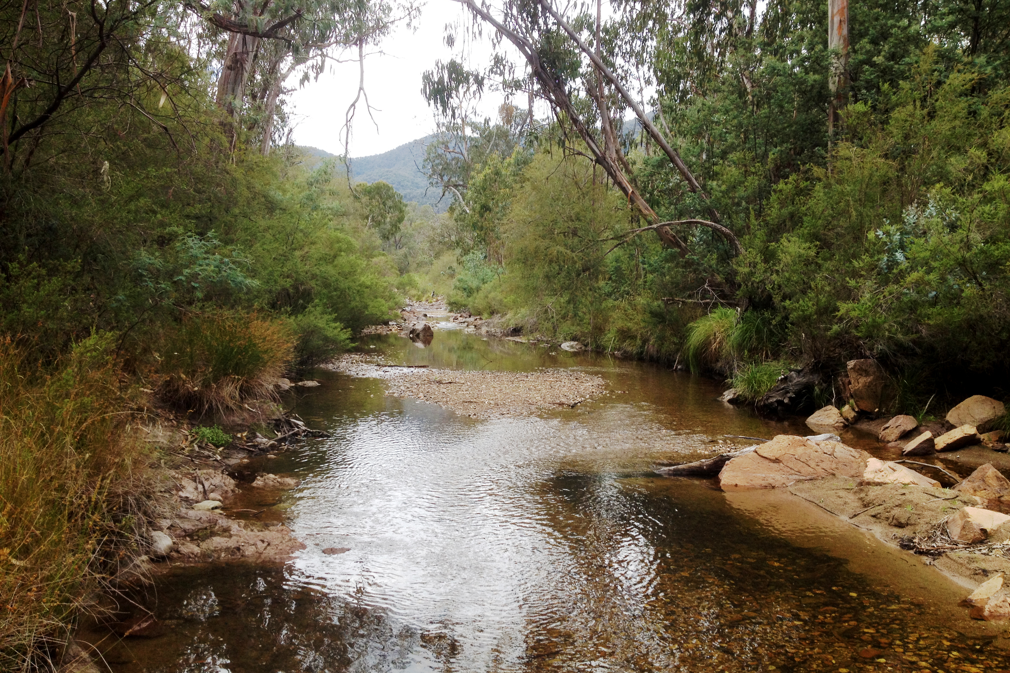
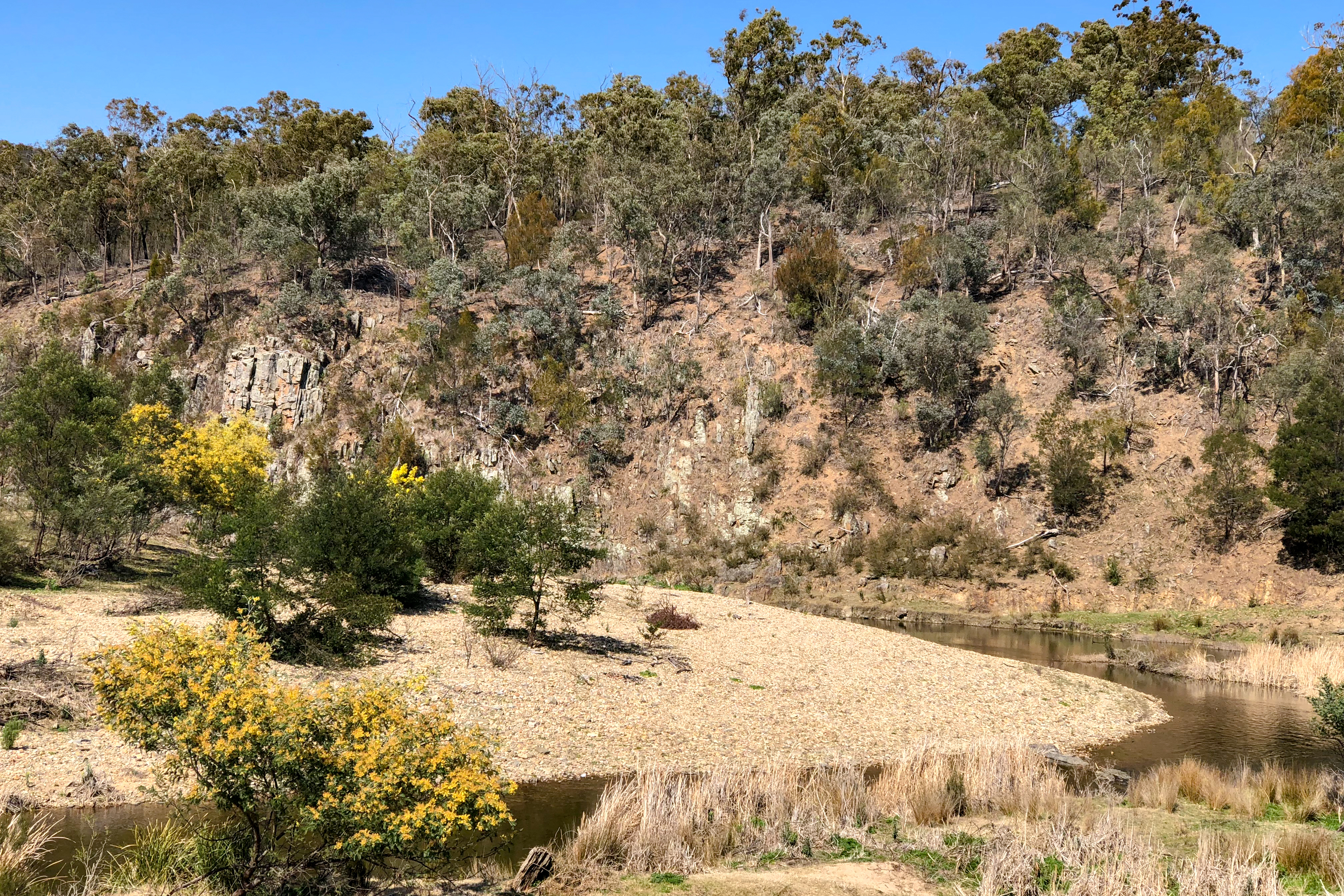
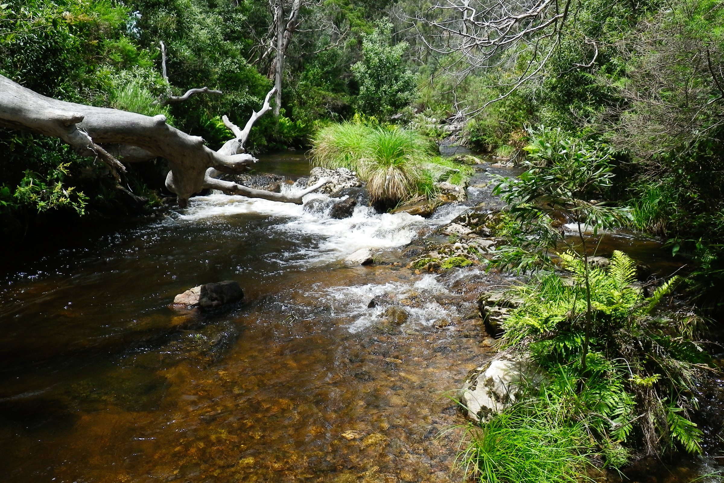
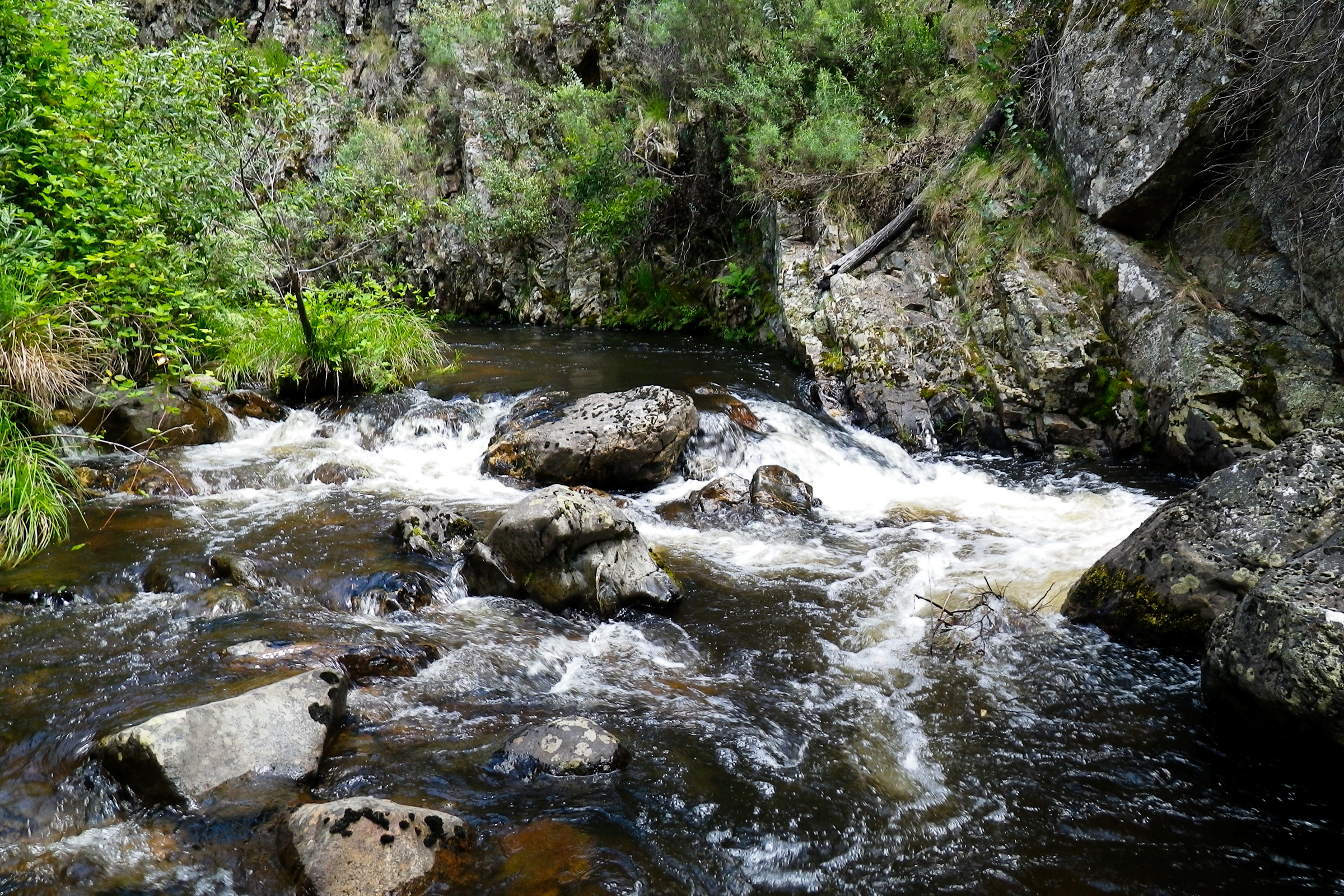
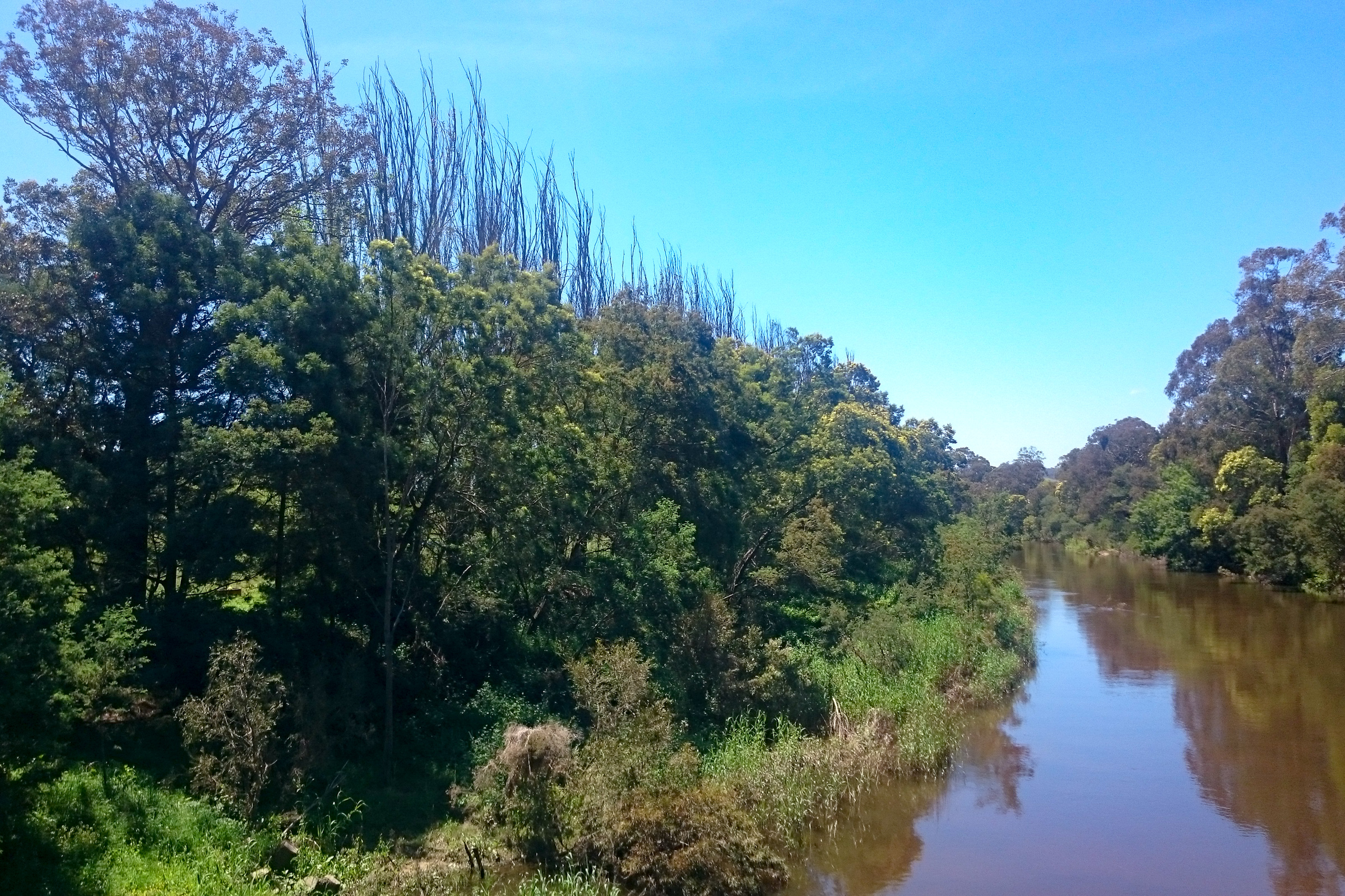
Much of the upper catchment is forested and is generally in good condition. However in cleared areas, extensive erosion has resulted in sediment transportation downstream.
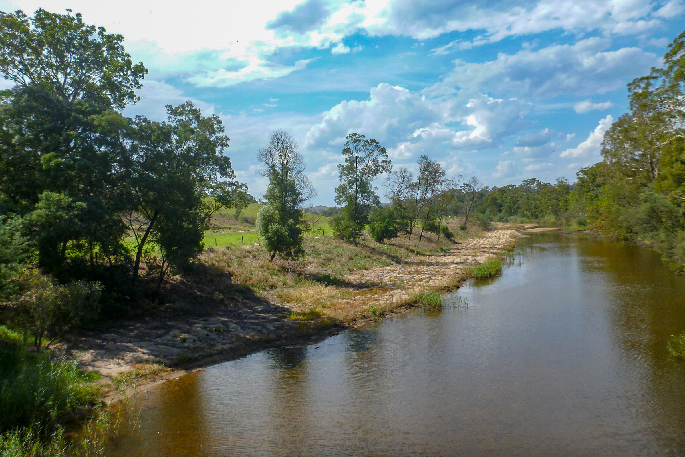
The floodplain below Bruthen is extremely fertile and was one of the first areas in the region to be cleared for agriculture. It makes a significant economic contribution to Bruthen and Bairnsdale. Fodder, beef and dairy production are the main land uses.
Drainage of this naturally low-lying land has been a major concern for farmers, a problem compounded by the deposition of sand from upstream and the aggradation (rising) of the river bed.
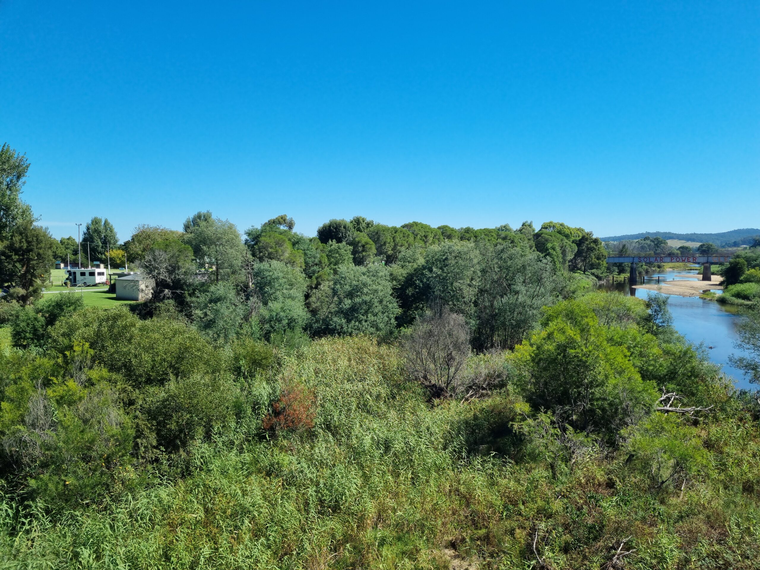
The Tambo River has an extensive estuary extending from The Cliffs (upstream of the township of Swan Reach) to the Gippsland Lakes at Lake King. Significant wetlands along the estuary reach of the river include the East Swamps (south of Sardine Flat Road), Lake King Wetlands and Russells Swamp.
These wetlands are part of the Gippsland Lakes Ramsar site which is listed as internationally important under the Convention on Wetlands (Ramsar, Iran, 1971).
Condition
The environmental condition of the Tambo River varies greatly according to the location selected.
The Index of Stream Condition (2004) rates the undisturbed reaches in the forested areas in the upper catchment in ‘Good’ or ‘Excellent’ condition. In contrast, the river between Bindi downstream to Ensay South was rated as ‘Poor’ due to ‘the surrounding land having been heavily cleared for agriculture, the impact of stock access to the riverbanks or the impact of the 2003 fires’.
History
The exploration of the Tambo River valley occurred during the 1830s (George McKillop) and 1840s (Angus McMillan). Gold was discovered in the upper catchment in the 1850s. Mining commenced at Swifts Creek in 1857 and during the 1860s at Doctors Flat, Haunted Stream, Sandy Creek, Cassilis and Tongio West. Initially, alluvial gold was mined using hydraulic sluicing methods. Mining for reef gold expanded rapidly from 1890 to 1916.
Vessels started navigating the lower Tambo River in the 1850s, initially to supply mining operations in the upper catchment and later, farmers and other settlers above Ensay and on the floodplain below Bruthen. Wharves were constructed at Mossiface, Battens Landing and Tambo Upper. Logs in the river that presented a hazard to navigation were removed (de-snagging). More regular shipping services started with the formation of Sale Steam Ship Navigation Company (1885). River cruises on the Tambo were a popular recreational activity.
Land clearing for agriculture proceeded rapidly on the fertile areas along the river and its tributaries above Ensay and on the floodplain reach of the river below Bruthen. By the 1880s, the Tambo Flats has been extensively cleared and sown to pasture and crops. Problems with flooding during high river flows lead to the construction of levees along the banks in an effort to keep water flows to the main river channel and off the floodplain.
Impact on the catchment
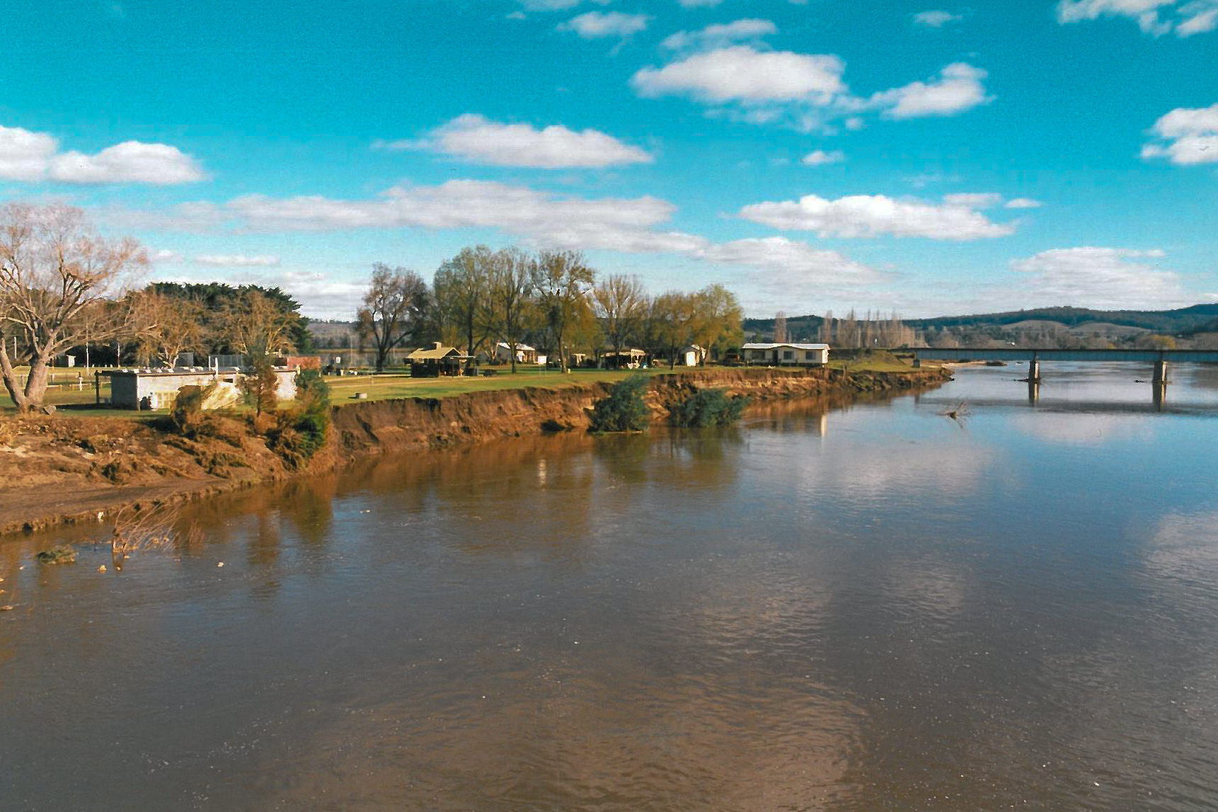
Mining, shipping, agriculture and logging activities resulted in a great deal of disturbance in the catchment and along the river. The effects became evident soon after a major flood in December 1893 with the movement downstream of large quantities of sediment from the upper catchment. This resulted in the aggradation (rising) of the river bed between Bruthen and Tambo Upper by approximately 4 metres in the period from 1890 to 1900, further increasing drainage problems for farmers on the floodplain. It also contributed to the river changed course (avulsion) below Bruthen during the December 1893 floods.
The sediment build-up in the lower Tambo caused problems with navigating the shallow river and, along with competition from rail and road transport contributed to the end of commercial shipping on the lower Tambo in the 1930s.
Tambo River Improvement Trust
The Trust was constituted in August 1953 to manage problems on the floodplain between Bruthen and the mouth of the Tambo at Lake King. The objectives of the Trust were to ‘mitigate flooding of low lying areas by the removal of snags and other obstructing vegetative growth from the river channel’, ‘the construction of embankments across low break out areas’ to prevent water spreading over farming land’, the construction of drains in low-lying areas and the stabilisation of eroding sections of the banks by the ‘construction of suitable works’.
Over time, the Trust became more concerned with broader issues related to river health. In the Master Plan published in 1985, the main issues were listed as bank erosion ‘caused primarily by boat washes, grazing cattle, pedestrian traffic and boat launching and landing’ between Swan Reach and Lake King; the ‘sand slug’ (sediment) in the river between Bruthen and Swan Reach; and the reduced channel capacity due to ‘overgrowth of willows, poplars and eucalypts’ and the ‘collapse of bank side vegetation’ along the ‘new’ course of the river.
The Tambo River Improvement Trust was replaced by the East Gippsland River Management Board, then by the East Gippsland Regional Catchment and Land Protection Board. Since 1997, the Tambo River (and other East Gippsland rivers) has been the responsibility of the East Gippsland Catchment Management Authority. A ‘whole of catchment’ approach has been adopted to the maintenance and improvement of river health.
Gallery