The Nicholson River catchment is small (6142 km) and the river relatively short in length (72.5 km). It rises to the west of Mt. Baldhead in forested areas and flows to the estuarine reach where it enters Lake King.
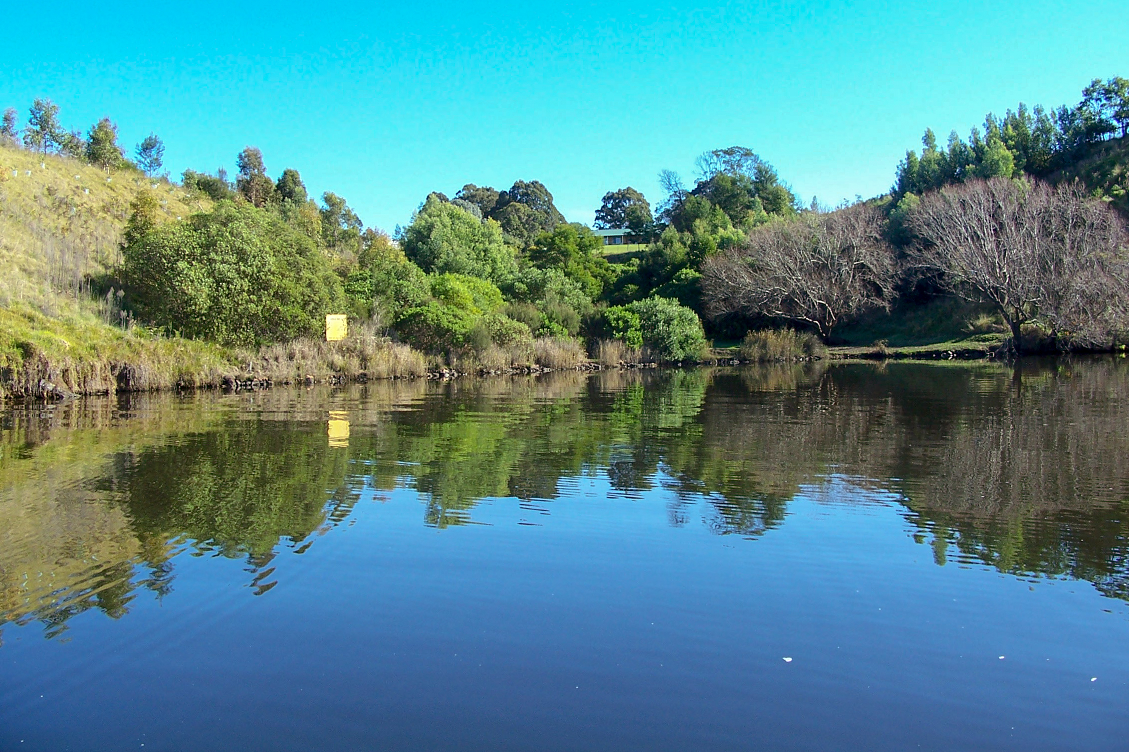
The Nicholson River has an extensive estuary reach that extends from the Great Alpine Road bridge at Sarsfield to where the river enters the Gippsland Lakes at Jones Bay. There are several important wetlands on both sides of the river, the largest being Bosses Swamp and Nebbor Swamp.
These wetlands are part of the Gippsland Lakes Ramsar site which is listed as internationally important under the Convention on Wetlands (Ramsar, Iran, 1971).
The Nicholson River is relatively short, so the potential to link the Gippsland Lakes with the forested areas in the upper catchment is greater than for other rivers.
A small (640 megalitre) drought reserve storage dam (constructed in 1976) is situated approximately 10km northeast of Bairnsdale and operated by East Gippsland Water.
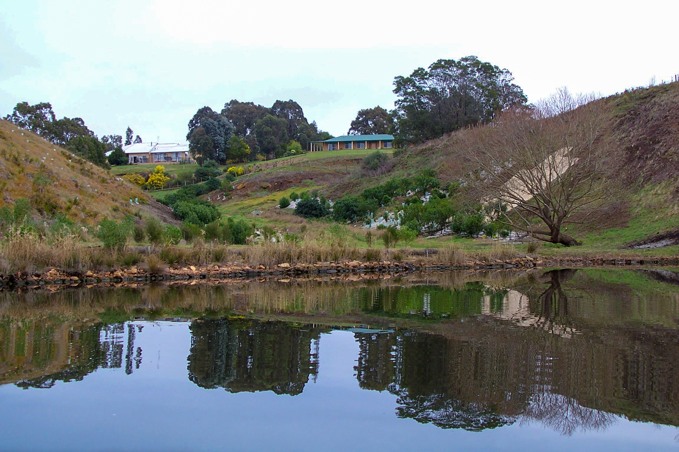
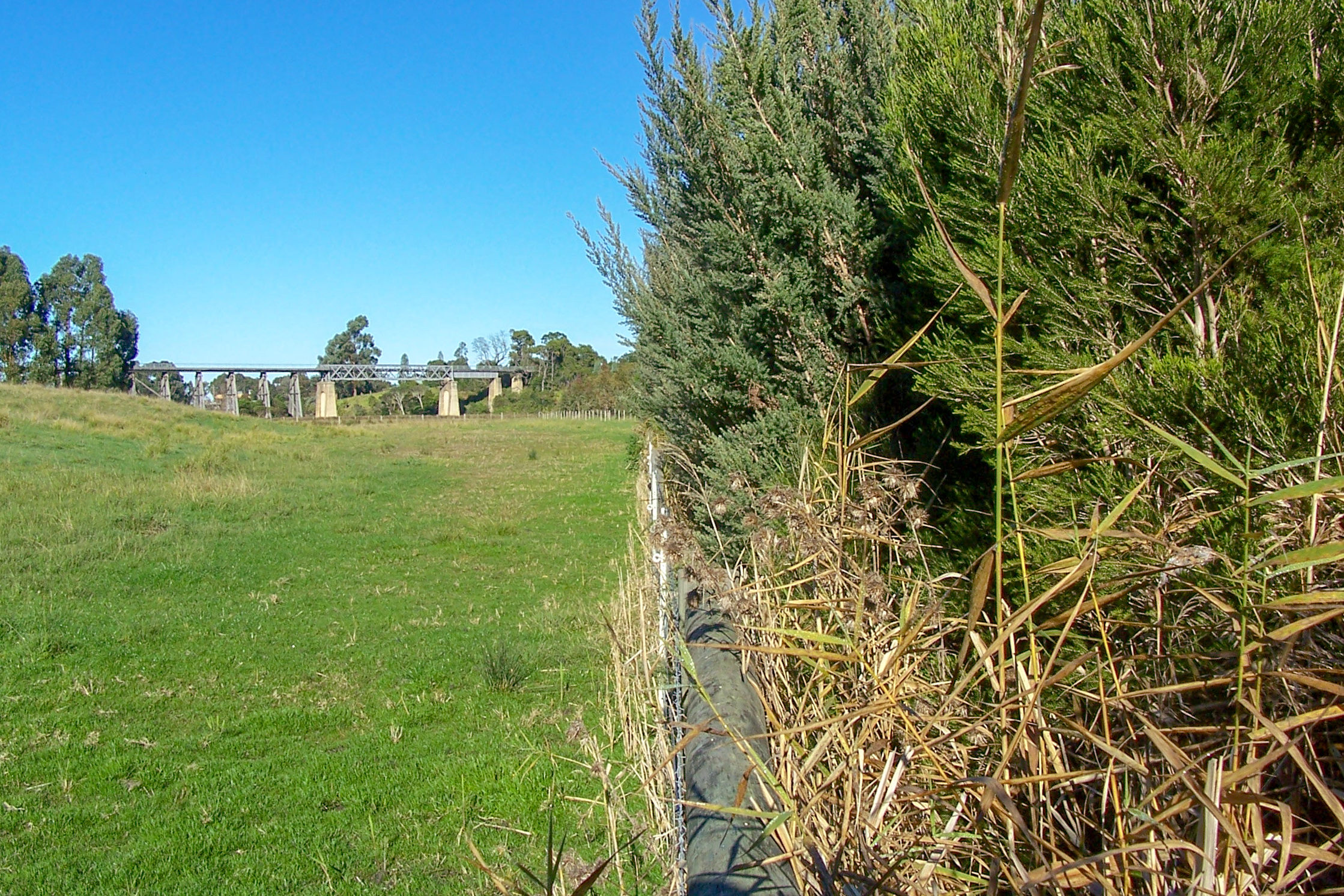
The floodplain reach between the Princes Highway (Bairnsdale to Lakes Entrance Road) and the Great Alpine (Bairnsdale to Bruthen) Road is used extensively for agriculture, mainly dairying and beef production.
Condition
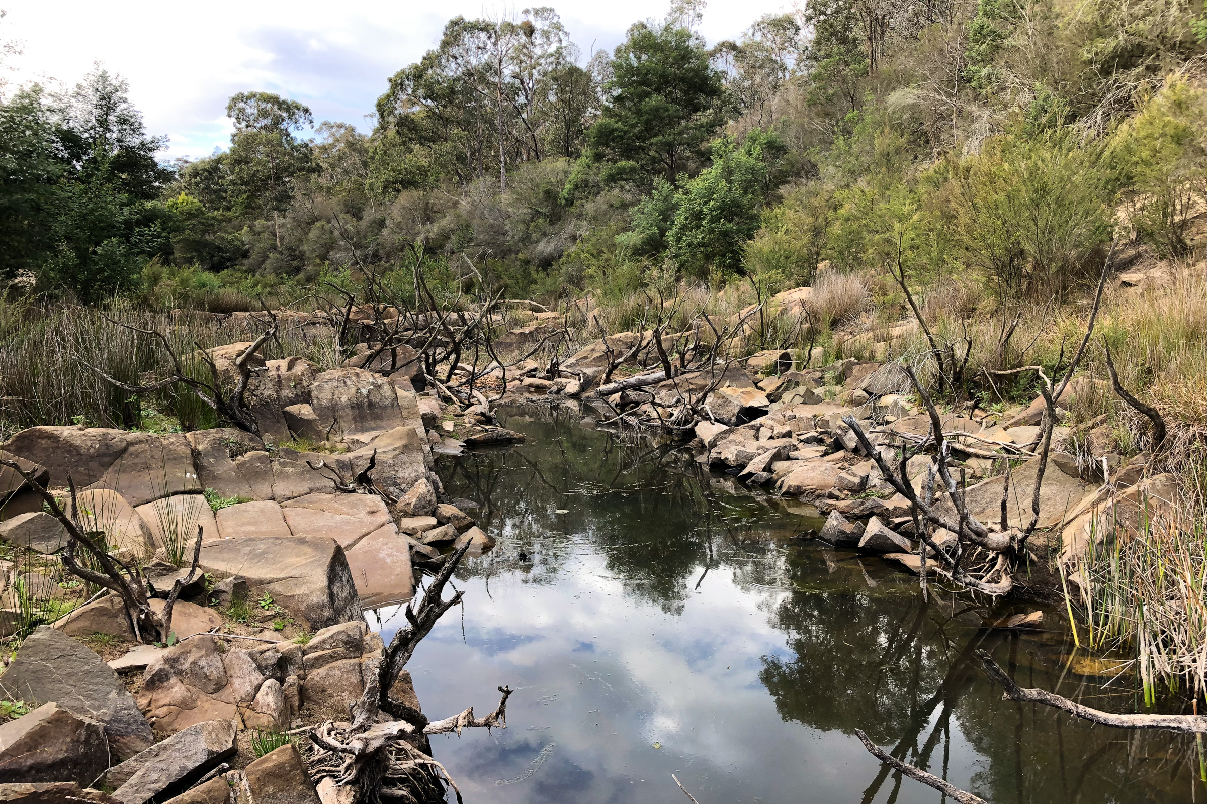
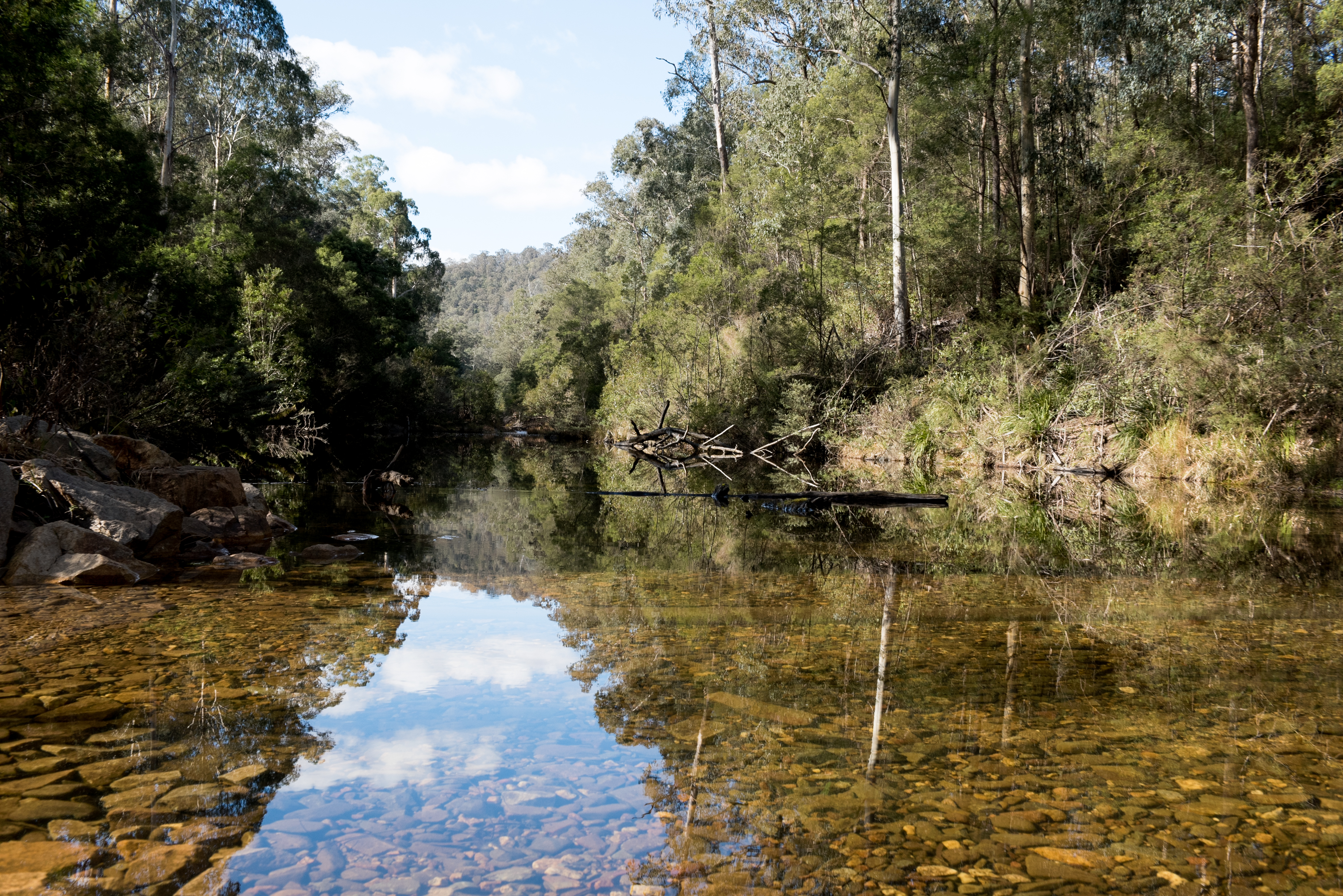
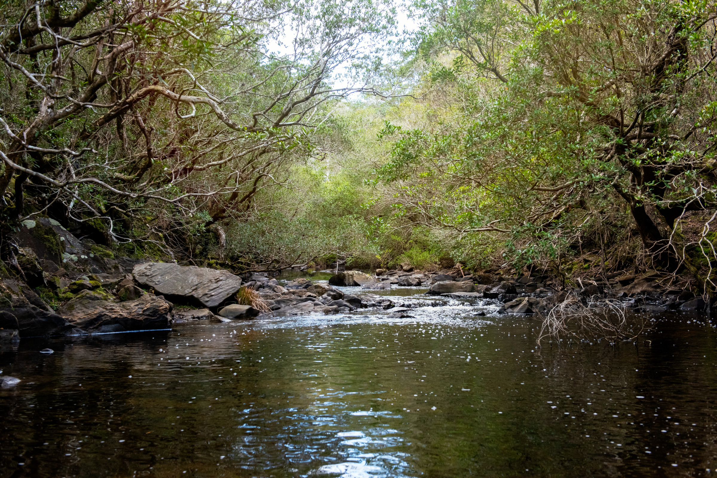
The largely undisturbed upper catchment is in excellent condition and managed as State Forest, with control of weeds being the main concern. In contrast, the floodplain has been extensively cleared for grazing and is generally in poor condition.
The dam presents a restriction to fish migration along the upper reaches of the river.
The river is prone to flooding following heavy rainfall. Flood waters can move quickly down the river. In recent years, substantial flooding has occurred in 1978, 1998 and 2007.

History
Since European settlement, the upper catchment has remained forested and land disturbance has been minimal.
Gold mining in the 1880s occurred around Deptford. Alluvial methods were used but these were small in scale and contributed only limited amounts of sediment to the river.
Land disturbance has been greater in the lower catchment. By the 1880s, land adjoining the river between the Great Alpine Road to the Princes Highway Bridge had been cleared of native vegetation and used for grazing or cropping.
In the estuarine reach of the river below the Princes Highway Bridge, land disturbance has been limited due to the extensive wetlands on both sides of the river. Most low-lying land close to the river was unsuitable for agriculture or grazing.
Gallery