The Mitchell begins at the confluence of the Wonnangatta and Dargo Rivers below the Dargo township. The Dargo River rises on the southern slopes of Mount Hotham. The Wonnangatta River begins on the northern slopes of Mount Howitt.
Apart from small areas of cleared land along the Dargo and Wonnangatta Rivers, the upper catchment is predominantly forested public land including sections of the Alpine National Park and Mitchell River National Park.
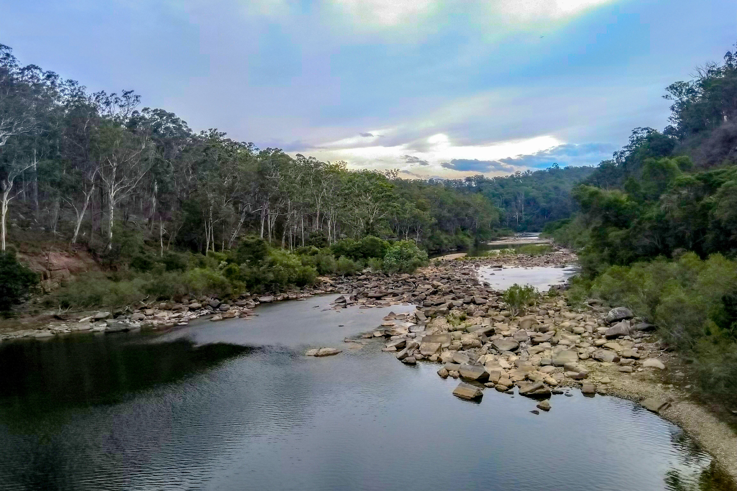
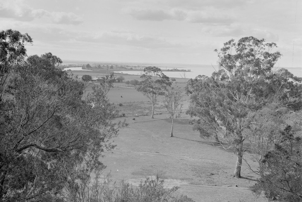
The Mitchell is joined by the Wentworth River at Tabberabbera. Below this point, the river enters the Mitchell River National Park where it flows through spectacular gorges.
Below the national park, the river enters the floodplain. Here, the river has cut a steep sided valley over three kilometres wide in places. Sediment deposits here have made this a fertile area for intensive agriculture.
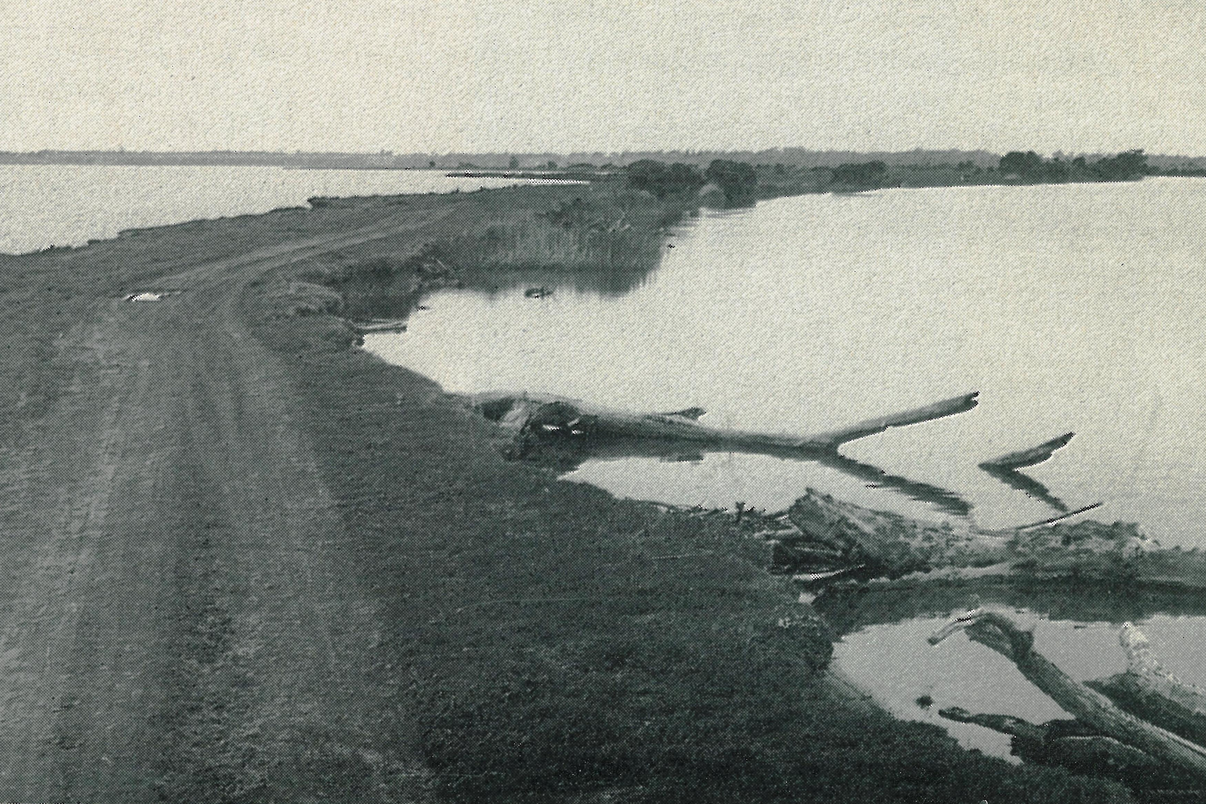
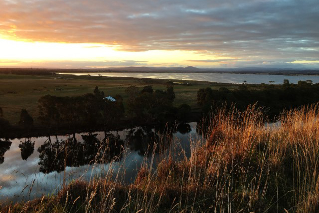
The Mitchell River has a long estuary reach which extends from the old barrier upstream from Bairnsdale township to where the river enters the Gippsland Lakes at Lake King via the internationally significant silt jetties. There are important wetlands on both sides of the river including Macleod Morass, Jones Bay and the Lakes King Wetlands at Eagle Point.
These wetlands are part of the Gippsland Lakes Ramsar site which is listed as internationally important under the Convention on Wetlands (Ramsar, Iran, 1971).
As a major tourist and recreational destination, the lakes play a vital role in supporting the regional economy.
The Mitchell River is recognised for its high conservation value, high level of naturalness of flows, relative intactness of the entire river system, and significance for the Gippsland Lakes.
The present condition reflects land use along the river. The largely undisturbed upper catchment is in excellent condition and managed as national parks, with control of weeds being the main concern. In contrast, the floodplain has been extensively cleared for horticulture and is generally in poor condition.

History
The Mitchell River is closely associated with the early exploration and settlement of Gippsland. Angus McMillan named the river in 1840 after Major Mitchell, the Surveyor General of New South Wales.
Settlement followed on the fertile floodplain especially after the land acts of the 1860s. Later, the lure of gold brought miners to the Dargo-Crooked River area in the upper catchment. By the end of the 19th Century extensive areas of land had been cleared along the Dargo and Wonnangatta Rivers and on the floodplain around Lindenow.
Major flooding occurred on the Mitchell in 1870, 1891 and in the New Year period in 1893-94. These floods caused considerable damage to crops, roads and bridges. Extensive erosion also occurred on rivers in the upper catchment resulting in sedimentation on the lower Mitchell. After the 1893/94 floods, silt deposits close to the mouth hindered shipping on the river.
In the following years, rabbit infestations and overgrazing also contributed to gully and sheet erosion on freehold land. Bushfires also impacted on native vegetation on hillsides prone to sheet erosion.

River rehabilitation works
Prior to the formation of the Mitchell River Improvement Trust in 1957, the major focus of works was flood mitigation on the floodplain around Lindenow and erosion control along rivers and streams in the upper catchment including Stoney and Skull Creeks that drop sharply from the Red Gum Plains to the floodplain of the Mitchell River.
The works undertaken by local authorities were directed at constructing levees at low points to reduce flood damage along the banks and to infrastructure such as roads and bridges. Timber and rock structures were also constructed to control erosion.
Mitchell River Improvement Trust
The Mitchell River Improvement Trust was constituted in 1957 following requests from landholders and the Bairnsdale Shire Council. The original Trust district was a narrow strip along the Mitchell River from just north of the confluence with Iguana and Stoney Creeks (and taking in part of Skull Creek) to the mouth of the river at Lake King. The district was extended in 1961 to take in a narrow strip along the lower section of Clifton Creek. The Trust consisted of nine commissioners, seven elected by ratepayers, one government nominee and one appointed by the Bairnsdale Shire Council.
The objectives of the Trust were to undertake works to control erosion along the banks of the river, and to reduce the frequency and severity of flooding of adjacent land by clearing obstructions from the river. Protection of river banks was adopted as the main objective.
Mitchell River Management Board (1987-1997)
The Mitchell River Management Board (MRMB) was established in October 1987. It was one of the first in Victoria based on a ‘whole catchment’ management framework rather than just a particular area like the floodplain.
A 1996 report prepared for the MRMB identified the priority stream management issues as bank stability, particularly downstream of Bairnsdale; management of exotic species, particularly those that rapidly spread (blackberries, suckering poplars, some willow species); properly prepared areas for recreational access to prevent damage; poor alignment and associated bank erosion in the upper catchment; and sediment management in the catchments of Tom’s Creek and Clifton Creek.
Since 1997, maintenance and improvements on the river have been the responsibility of the East Gippsland Catchment Management Authority.
Proposals to regulate the Mitchell River
There have been many campaigns proposing regulation of the Mitchell River for the purpose of irrigating pasture and crops on the Lindenow flats, and two unsuccessful attempts to do so.
The first involved the construction of the Glenaladale Weir located near the junction of the Mitchell River and Stony Creek. Construction commenced in 1891 and the foundation stone was laid on 3 March 1893 by Frederick Drevermann. The weir was damaged by floods later that year and never repaired. Sections of the weir wall are still visible today.
The second attempt did not proceed beyond the stage of preliminary works. In 1971, the Victorian Parliamentary Public Works Committee recommended that a dam be built on the Mitchell at Billy Goat Bend to provide irrigation water on the Lindenow Flats. The following year, a second dam was proposed at Tabberabbera (Angusvale) to irrigate a vast area of land between the Mitchell and Perry Rivers. This decision was confirmed in 1974 and 1978. Land around the site was acquired and the access road constructed. However, in May 1982, following the election of the Cain Labor Government, the Minister for Water Resources announced deferral of the project indefinitely.
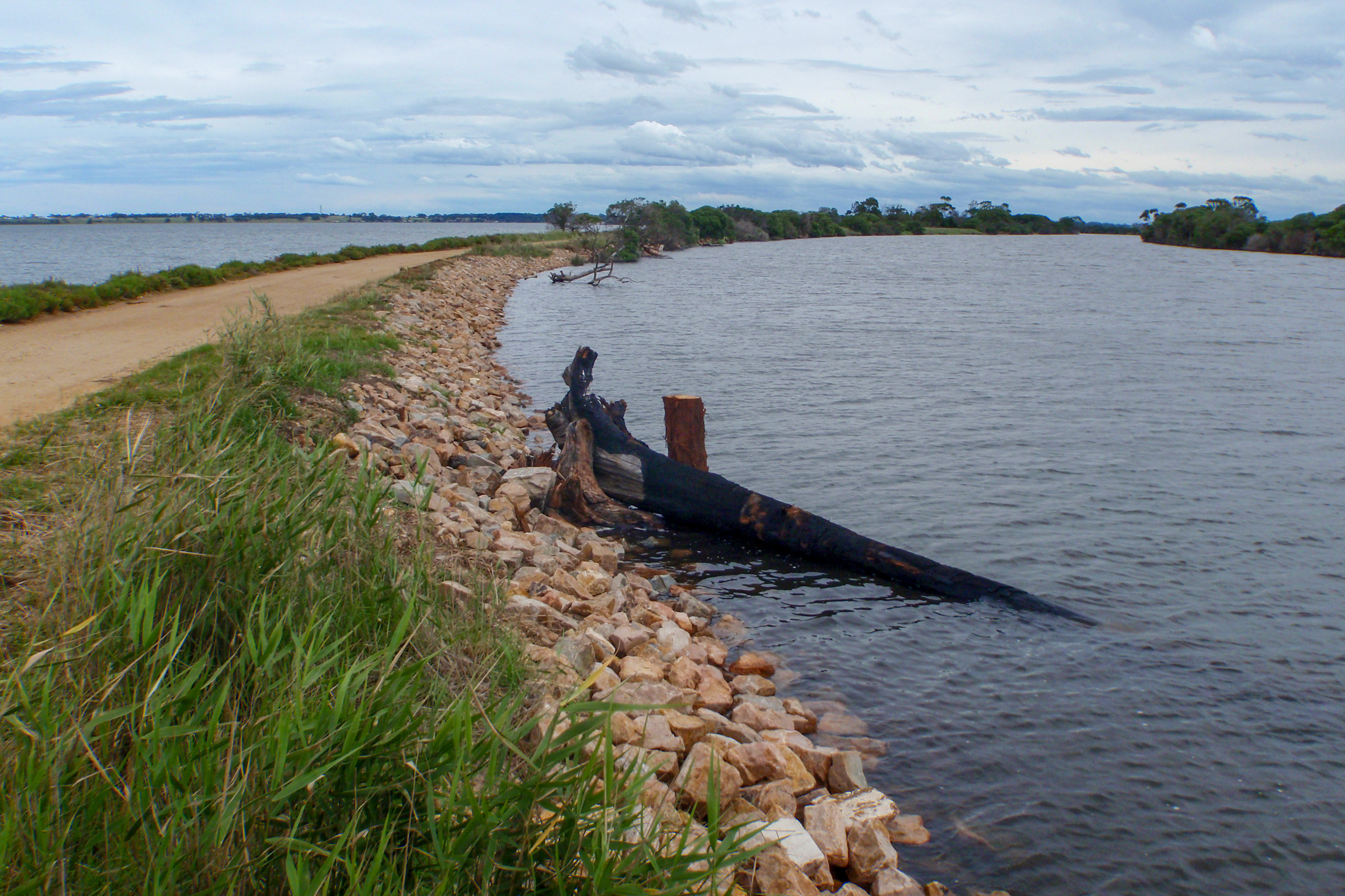
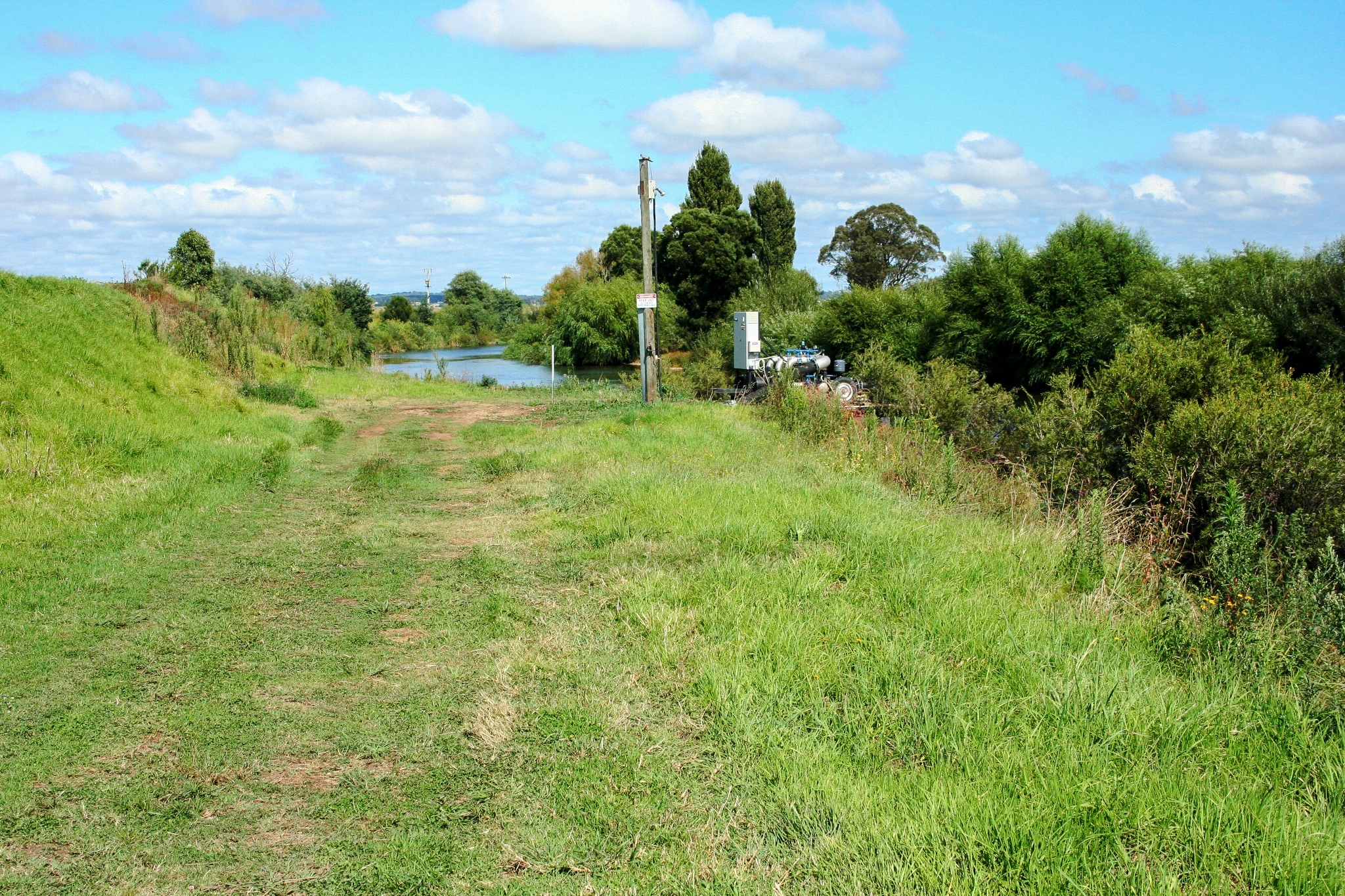
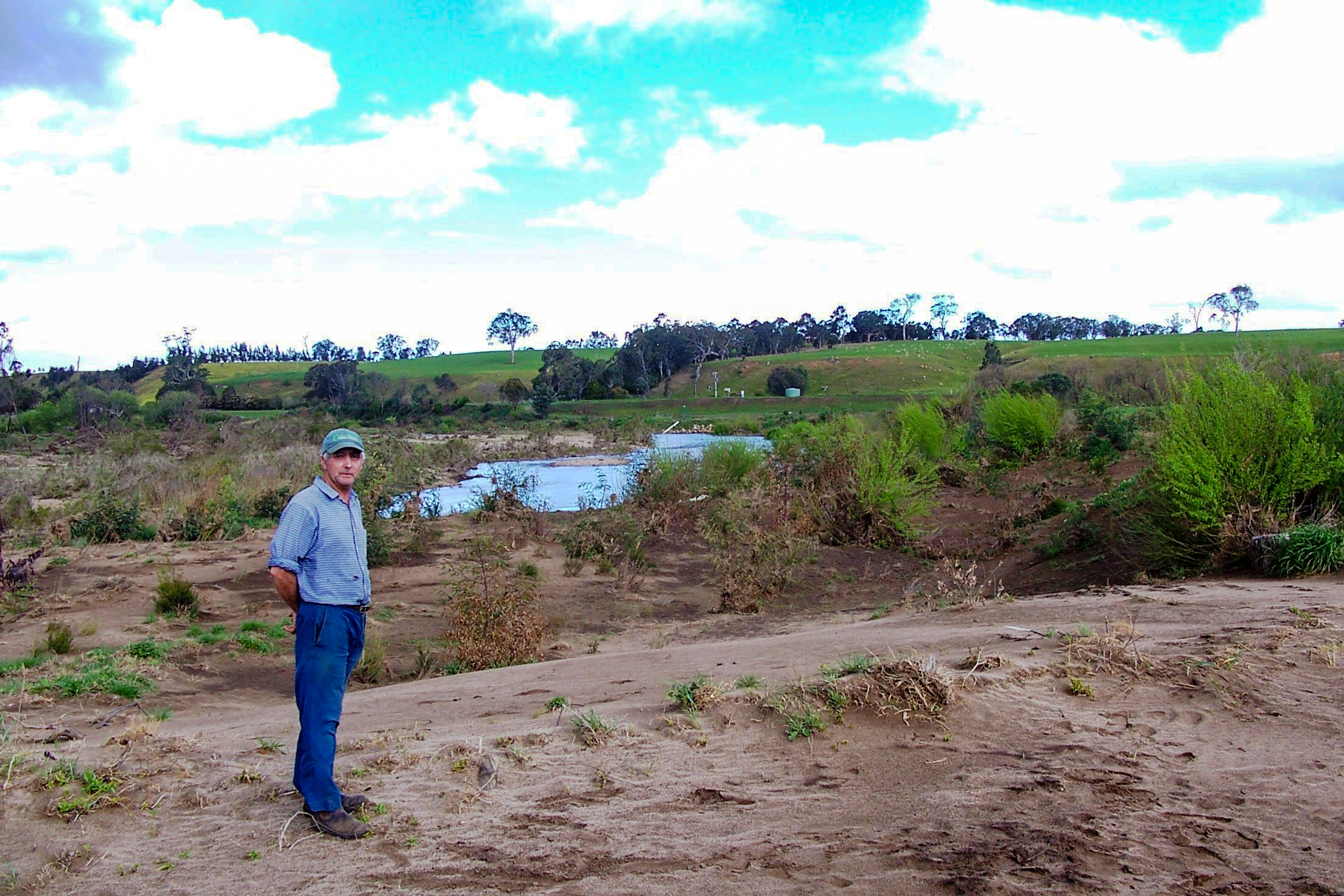
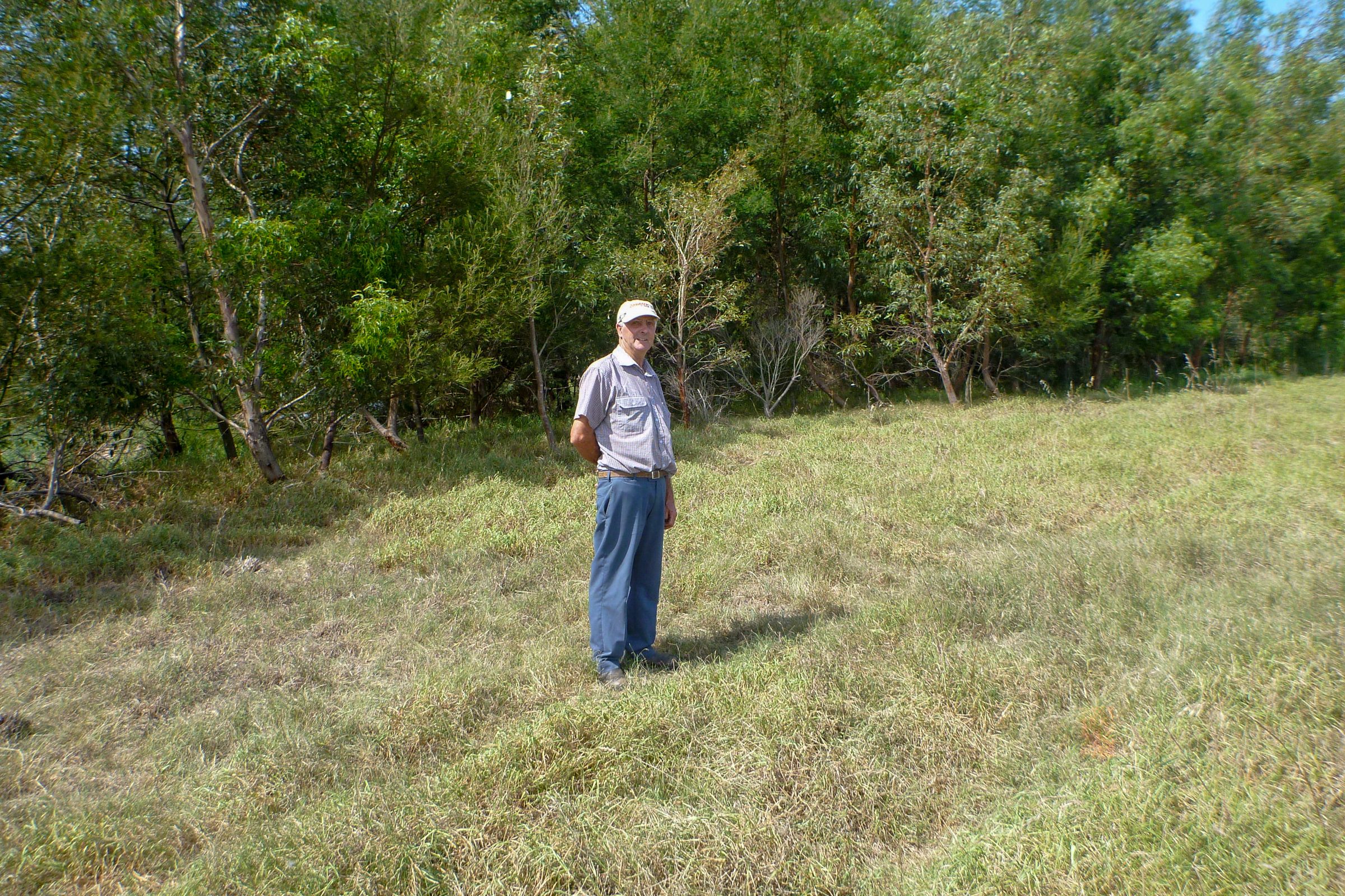
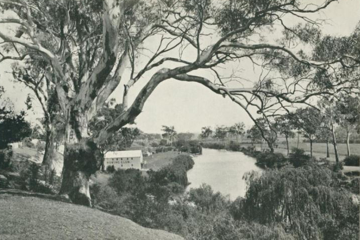
Gallery