A semi-permanent entrance is maintained through the dune barrier at Marlo.
Marlo Inlet Estuary Opening fact sheet can be found here.
Pattern of closures
During the data period between 1987 and 2023 the Inlet has closed on 5 occasions. Openings typically persist for multiple years at a time. Closures, while infrequent and brief, are typically associated with periods of reduced upstream rainfall in the Snowy River catchment.
Location of flooding
The main impact of the closure of the estuary is the inundation of agricultural land. About 5000 hectares can become inundated depending on estuary fill rates, of which 1850 hectares is private land when the water level reaches 0.9m (the level that results in a successful opening).
A fish death resulting from de-oxygenation in Cabbage Tree Creek is a risk associated with an artificial opening. Ideally, an opening would be timed to occur following heavy rainfall in the Cabbage Tree Creek catchment.
Level required for a successful opening
The lowest tides possible and water levels within the estuary of 0.9m (as indicated on the gauge at Marlo) provide the conditions at which an artificial opening may be successful.
A channel is excavated at the narrowest point in the sand bar and excavated from the seaward side.
Responsibility for an opening
A decision to attempt an artificial opening will be made by the East Gippsland CMA and Parks Victoria. The actual opening will be undertaken by Parks Victoria.
Estuary monitoring
Water height levels are found on Victoria’s Water Measurement Information System (WMIS). These measurements are taken from a gauge located on the Snowy River at Marlo.
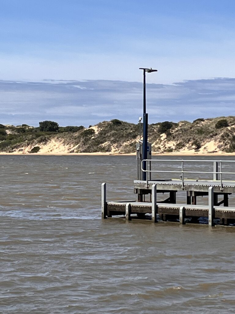
Remote solar-powered cameras have been installed. These cameras collect images every day of the estuary mouth conditions. The images provide the ability to record and track changes in estuary mouth conditions which can be further analysed in conjunction with historical records, to understand long term trends.
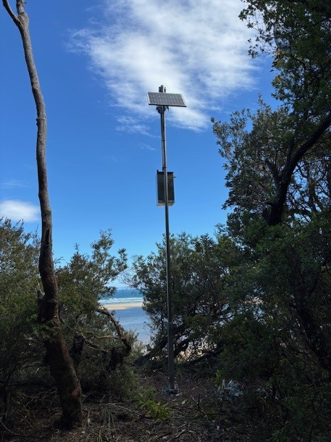
Marlo remote solar-powered camera