Mallacoota Inlet is primarily fed by the Genoa and Wallagaraugh Rivers, whose catchments extend into NSW, before connecting to Bass Strait. The highly dynamic Inlet regularly experiences fluctuations in sediment transport and deposition from processes of the open coast and catchment flows.
Pattern of closures
During the data period between 1987 and 2023 the Inlet has closed on 9 occasions. Mallacoota Inlet’s closures typically last for months, if not years, during low tributary inflows.
Mallacoota Inlet Estuary Opening fact sheet can be found here.
Location of flooding
When closed, the water level remains around 0.6 – 0.8m for a prolonged period. Water levels can be determined by viewing the gauge mounted on the jetty at the boat ramp. Flooding can occur over wharves, camping areas, car parks, boat ramps, and moorings.
Level required for a successful opening
It is unlikely that a successful opening can be achieved when the water level is below 1.5m. If an opening is to be attempted in a westerly location, water levels need to be higher (>1.7m) as the sand build up inside the estuary will prevent a rapid connection to a deep channel. This does not mean that when the estuary reaches this level it will automatically be opened, there are many factors considered when artificially opening an estuary.
In the past, there has been a long period of closure, and the water level has remained relatively static. The opening is then likely to be required at very short notice with a forecast of heavy rainfall. The hydrological response time of the catchment will give, at best, a couple of days’ notice before floodwaters rise rapidly requiring an opening to be initiated.
Responsibility for an opening
Parks Victoria coordinates the works component of the opening which is approved by East Gippsland CMA.
Estuary monitoring
Water height levels are found on Victoria’s Water Measurement Information System (WMIS). These measurements are taken from a gauge at Mallacoota Inlet.
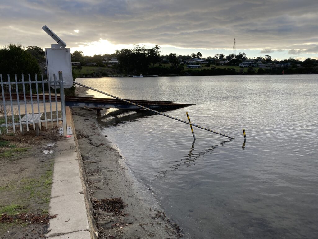
Remote solar-powered cameras have been installed. These cameras collect images every day of the estuary mouth conditions. The images provide the ability to record and track changes in estuary mouth conditions which can be further analysed in conjunction with historical records, to understand long term trends.
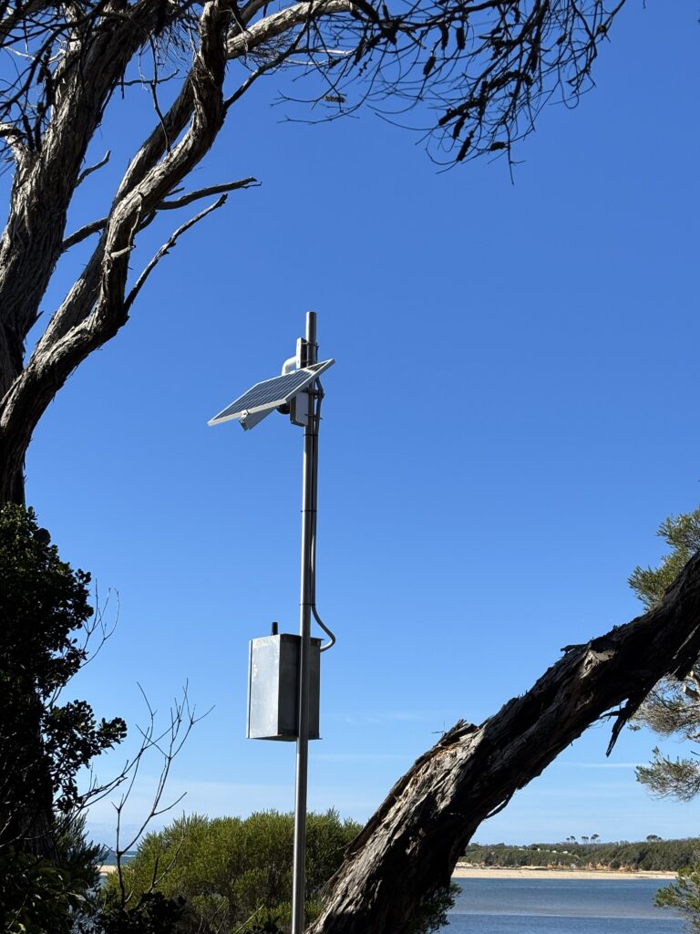
Mallacoota – remote solar-powered camera